
Developing a smart and connected territory project in 7 steps
Before focusing on Technology, let’s talk about vision, anticipation, dialogue. 7 steps to develop a Smart and connected territory project.
A smart and connected territorial project is above all the expression of a vision and ambition for a city or territory, expressed in terms of benefits for its residents. The aim is to examine the organisation of urban functions and their interactions, the infrastructure and heritage to be renovated or developed (lighting, roads, transport, digital), exchanges with residents and in particular their participation in the definition and development of public services, and finally the mobilisation of the local eco-system, with businesses and training and education centres.
A smart and connected territory project requires the coordination of a service-based approach (more services for residents) with an environmental initiative (reducing energy consumption, developing soft mobility), a dynamic performance of public services (coordination, cross-functionality) and finally the development of social and economic innovation to promote the region’s development.
This approach is possible regardless of the size of the territory and its organisation. It can rely on a step-by-step strategy to optimise an existing system, urban function by urban function (public lighting, then video protection, then mobility, and so on), in order to gradually progress towards a global design driven by a single digital architecture. A medium-sized city can initiate this process. Or, from the outset, we can consider a vast inclusive project involving all the dimensions of a metropolis.
Finally, a region that wants to enhance its assets can rely on the strengths of a “smart and connected territory” project to support and accompany its development: exploit a strategic geographical position, boost an employment hub, develop its SME fabric. Regardless of the project’s initial phase, it is an accelerator of transition and transformation, and a creator of economic and social value, where digital technologies and digitalisation are among the many keys to success.
Step 1: Mapping priorities for the territory
Rationalization, quality of life, outreach or all of the above. A Smart and Connected Territory project requires the development of a vision with priorities that will determine both the project’s outline and its operating plan. Let’s focus on 3 main priorities.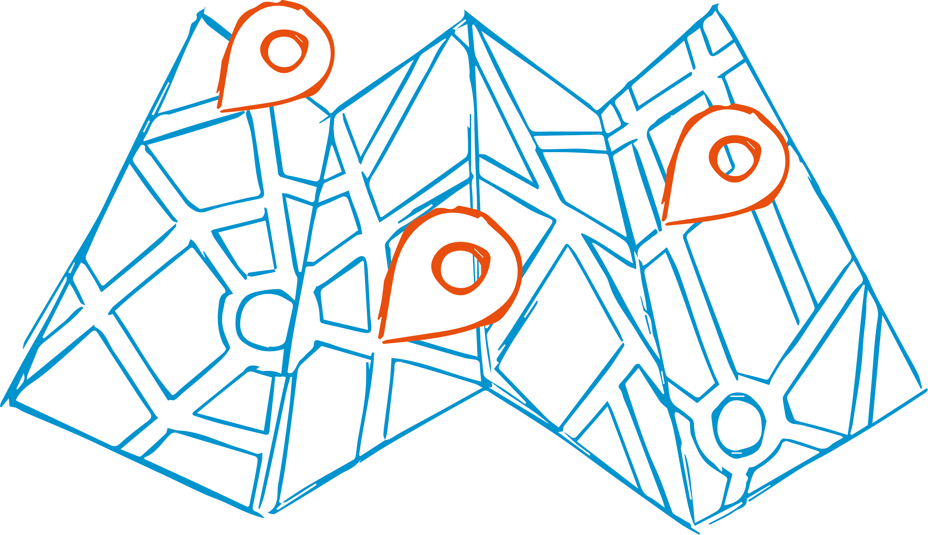
A. Rationalisation
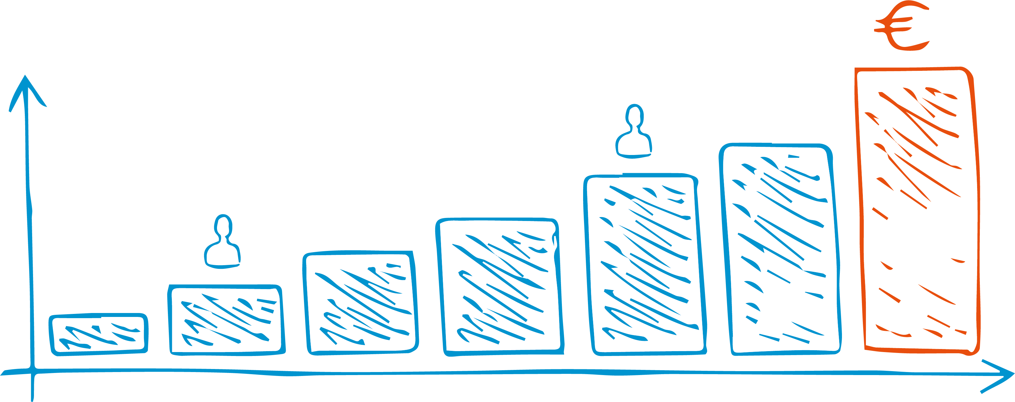
- Generate savings for investment; energy and operating expenses
- Identify the main hubs of energy expenditure and produce renewable energy
- Strengthen coordination between public services
- React in real time to unforeseen events
- Improve public services’ efficiency to meet citizens’ expectations
B. Quality of life
- Revamp the public lighting
- Reduce public transport users’ travel times
- Improve traffic flow
- Improve vehicle parking
- Securing access to the city centre during an event
- Strengthening security
- Strengthening citizen dialogue
C. Radiation
- Engage with SMEs and start-ups
- Develop tourism
- Boost shopping streets
- Bring High-Speed and Wireless Internet
- everywhere to everyone
- Attract training and research centres
- Boost the employment pool
Step 2: Mapping assets
- Lighting network
- Display network
- Sound animation
- Video protection equipment
- Access control (retractable bollards...)
- Mobility solutions
- Public buildings
- Organisation and operating rules of the services
- Communication networks
- Private partners involved in the operation of services
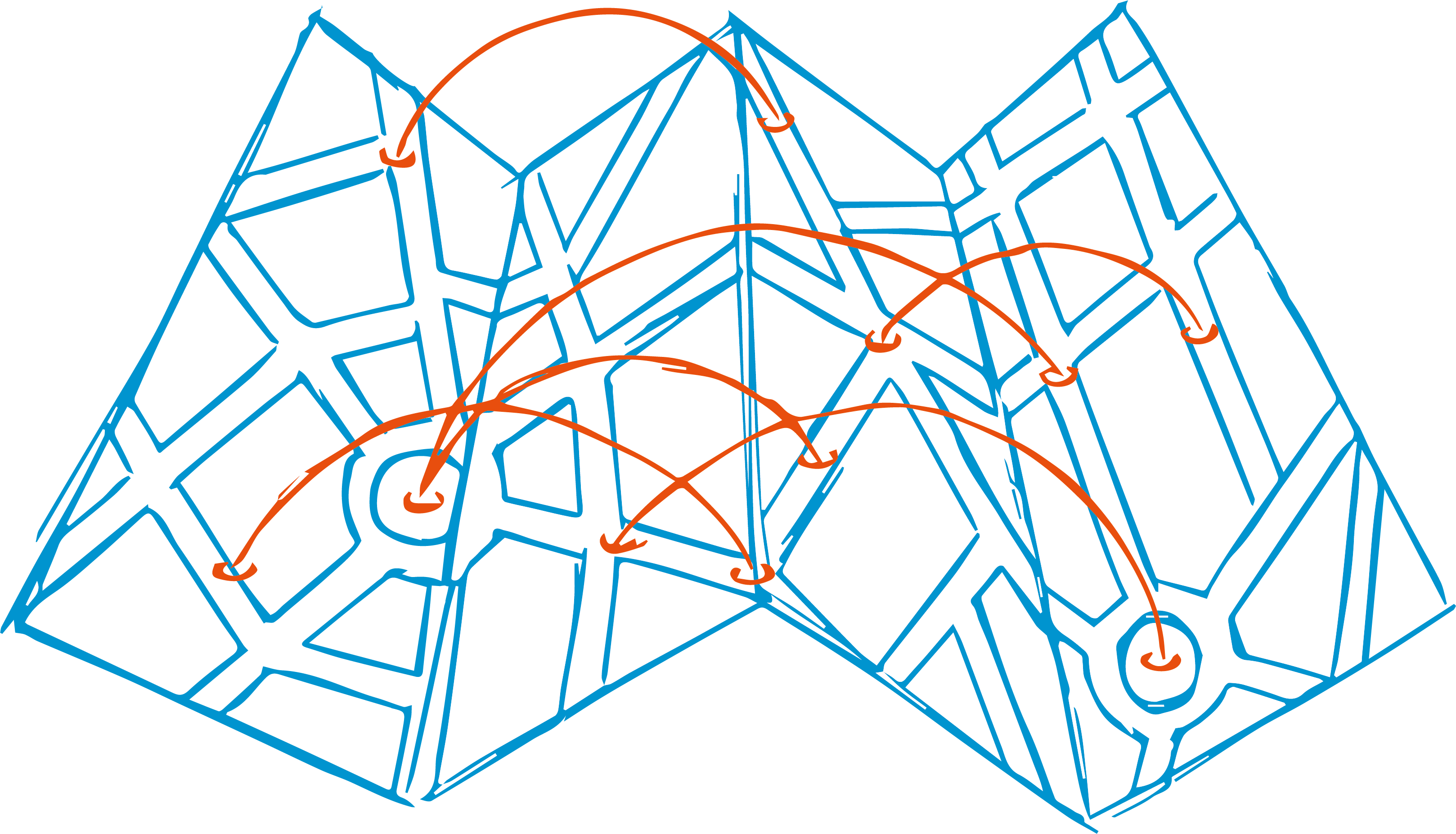
Step 3: Define the governance and project facilitation principles
- Stakeholders identification
- Creation of cross-functional teams
- Define governance and animation rules
- Define prioritisation rules for subjects
- Identify performance indicators
- Identify the expected direct and indirect benefits (financial, societal, collective)
- Prioritise benefits to be brought to residents, tourists, entrepreneurs, city manager
Step 4: Structure an in-depth dialogue between stakeholders
- Benefits of unbundling “silos”
- Intervention and management processes
- Structure of operating expenses
- Management methods for urban facilities
- Areas of collaboration with SMEs, start-ups, teaching and research centres
- The project’s economic model
- Development of new services
- Interacting with citizens
Step 5: Imagine service coordination scenarios based on concrete uses
- Event protection
- Coordination of response services
- Functioning of new mobility services in urban areas
- Ephemeral animation
- Valuation of the assets
Step 6: Qualify the solutions to be setted up and shared to support these scenarios
- New urban facilities
- Digital infrastructures
- Connected objects in urban space
- IoT : connected objects to collect data
- Data management and processing rules
- Feedback platform for data exploitation by teams
- Connecting infrastructures and services to a “core”: the connected cockpit
Step 7: Develop a good team and proceed gradually
- Define data governance rules

- Identify an agile mode of establishing dialogue and contracts
- Plan and schedule the deployment of services
- Define a roadmap for jobs and trades
- Support the transformation of businesses
- Highlight progress and communicate with residents
